
01The place
A fisherman found a saint in the sand. The place kept the name.
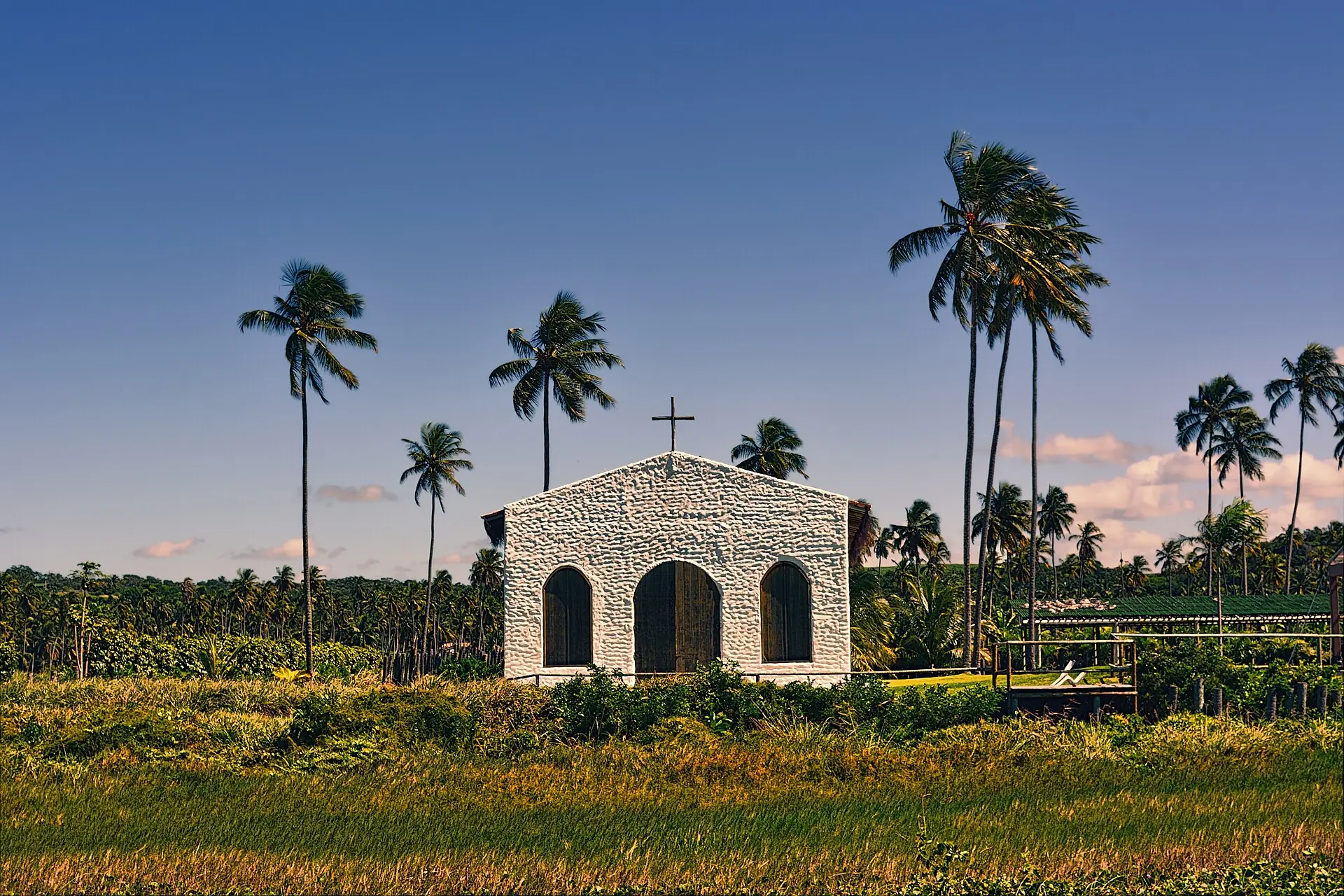
São Miguel dos Milagres lies on the northern coast of Alagoas, about a hundred kilometres from Maceió, between Passo de Camaragibe and Porto de Pedras. The settlement used to be called Nossa Senhora Mãe do Povo. Tradition has it that a fisherman found on the beach a carving of Saint Michael the Archangel covered in slime, cleaned it, and an old wound healed.
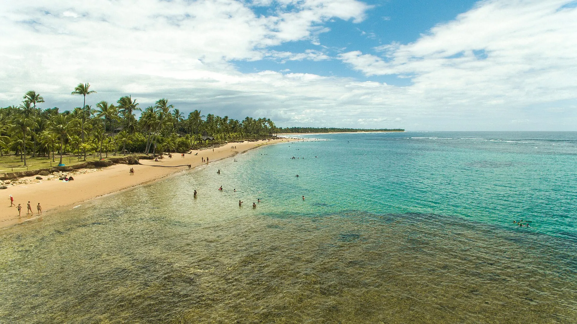
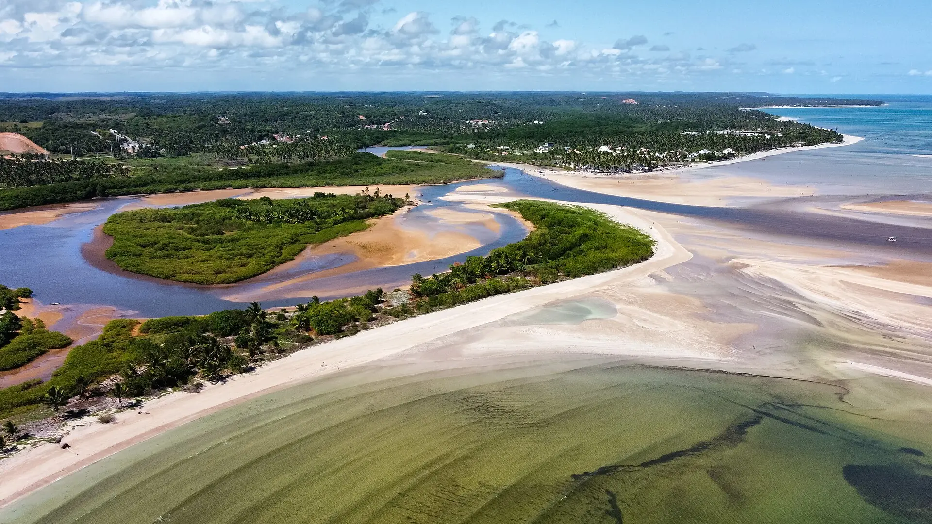
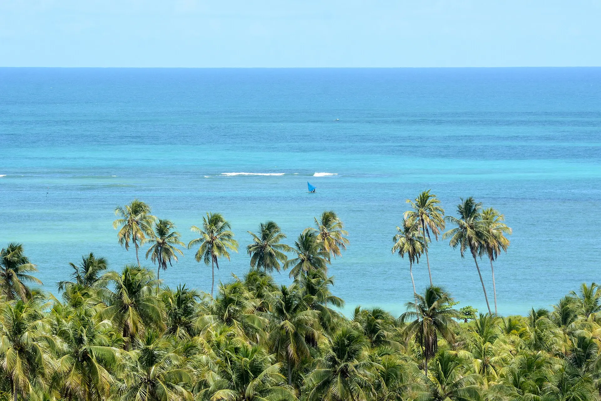
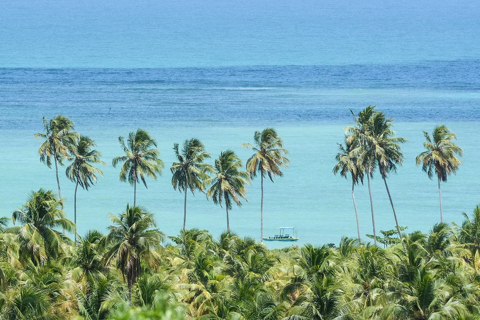
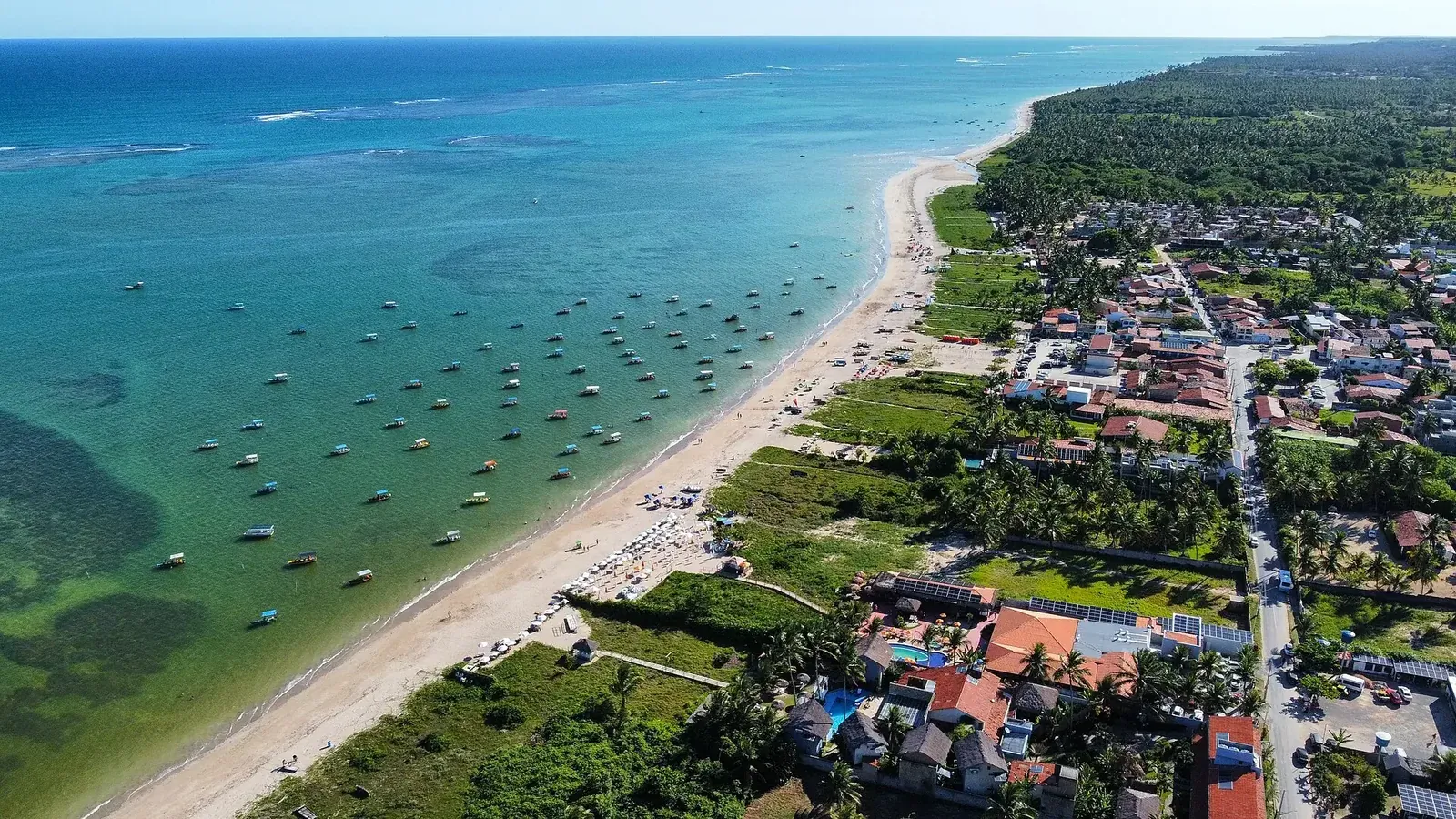
This whole coast belongs to the Costa dos Corais Environmental Protection Area, created in 1997 and managed by ICMBio, the federal conservation agency. It covers more than a hundred kilometres of shoreline, from Pernambuco to Alagoas, protecting reefs of coral and of sandstone. It is the line of reef, close to the sand, that leaves the sea shallow and still by the beach.
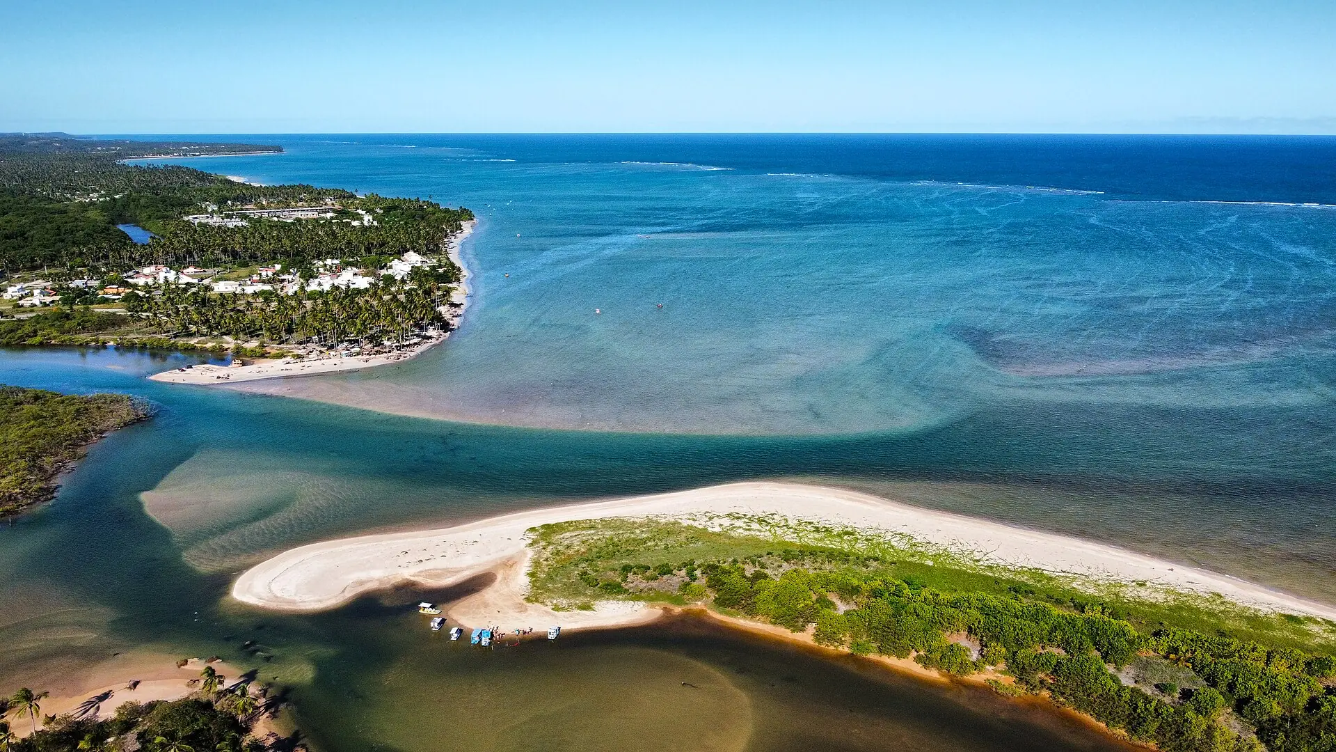
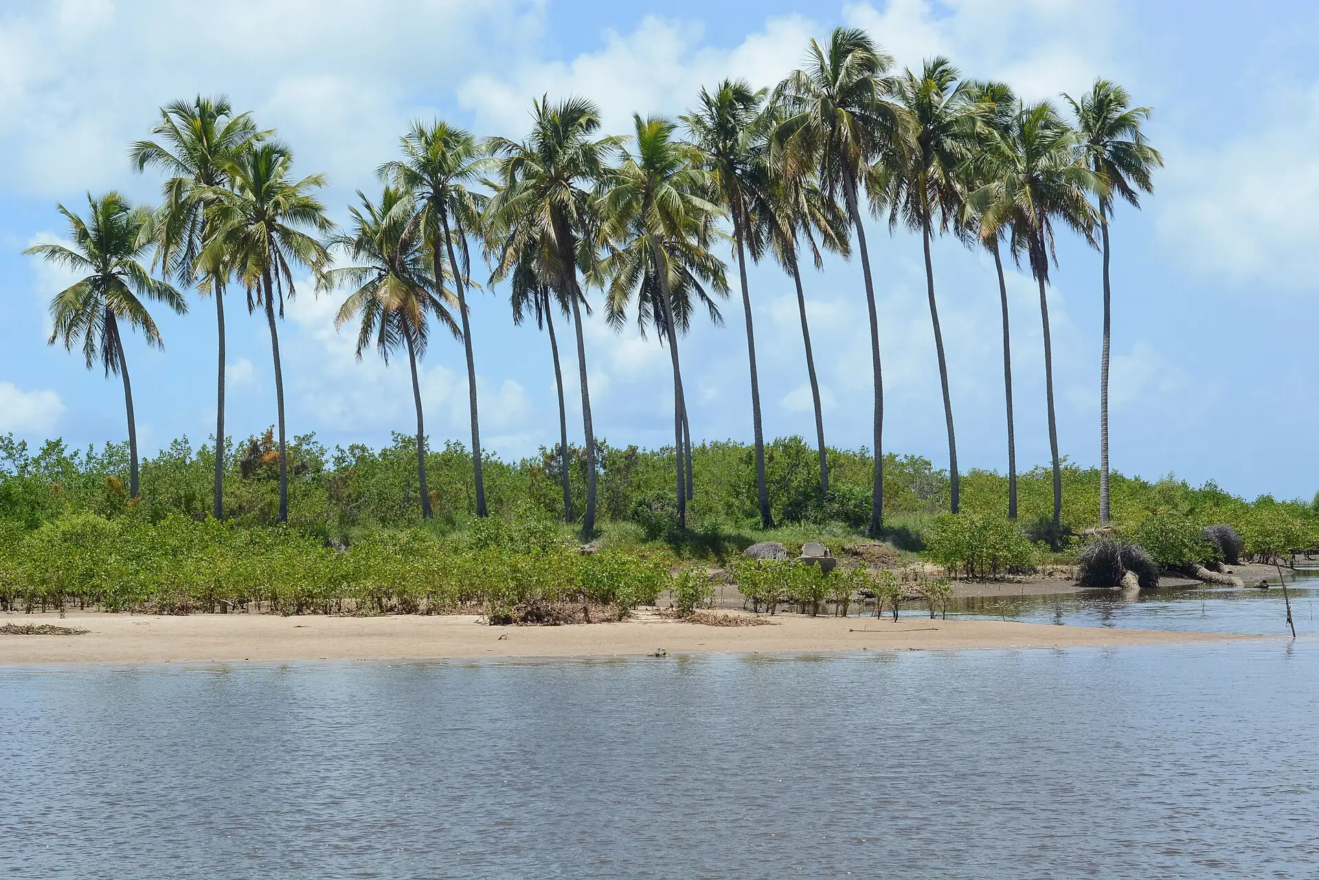
The beaches carry the names of villages: Toque, Porto da Rua, Riacho. Further north, already in Porto de Pedras, are Patacho and the Tatuamunha river, home to the West Indian manatee.
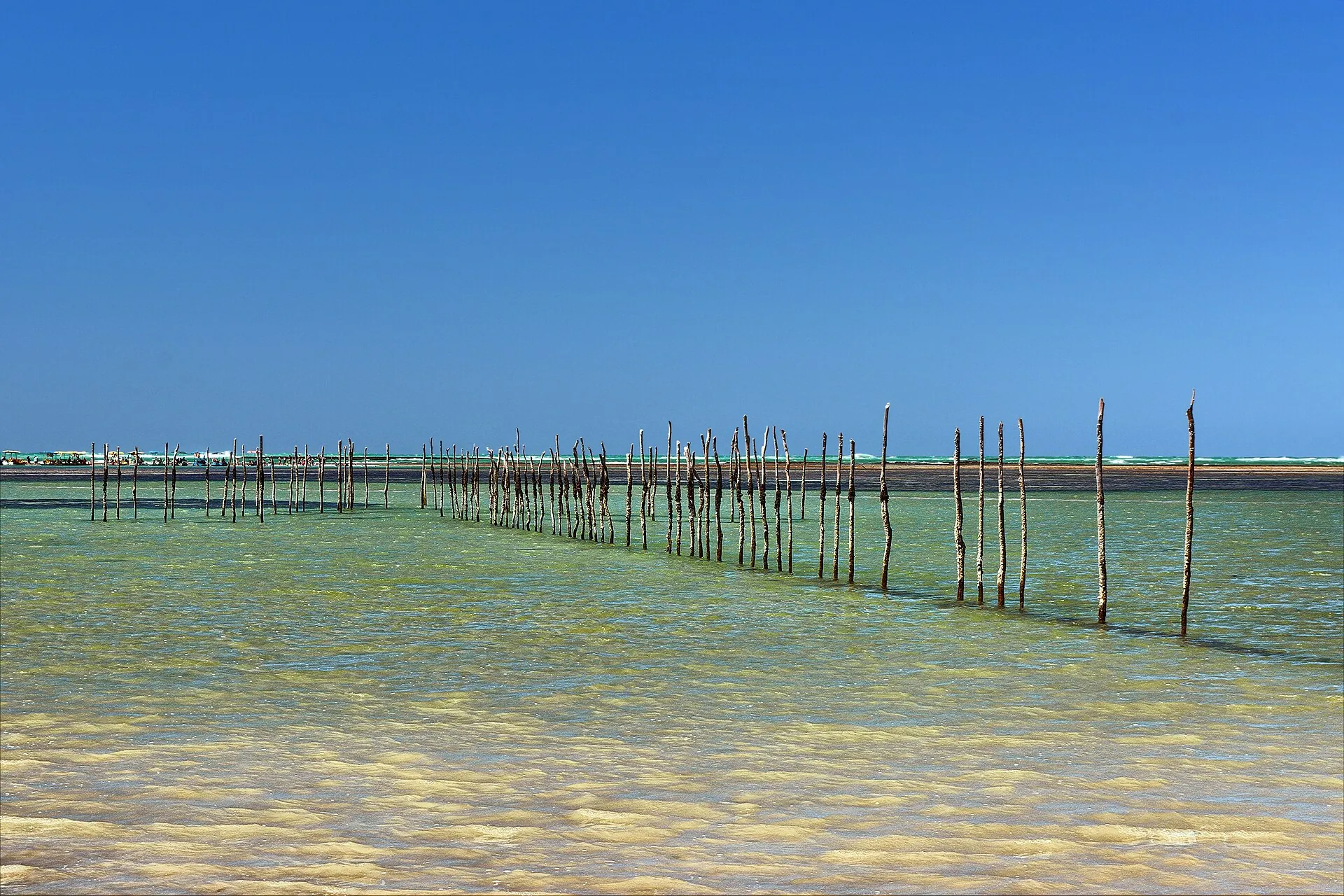
Praia do Riacho, São Miguel dos Milagres, AL
02Why here
Because here the sea waits.
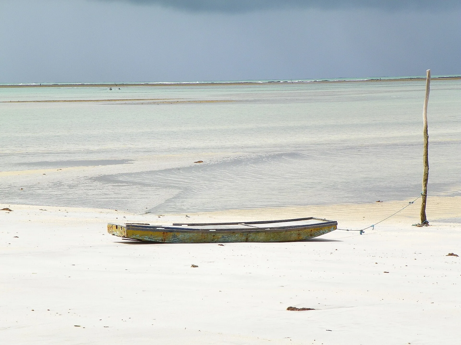
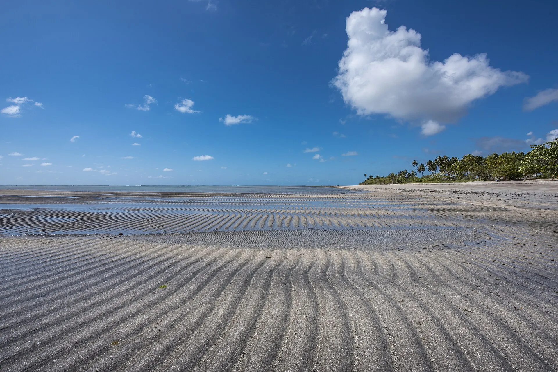
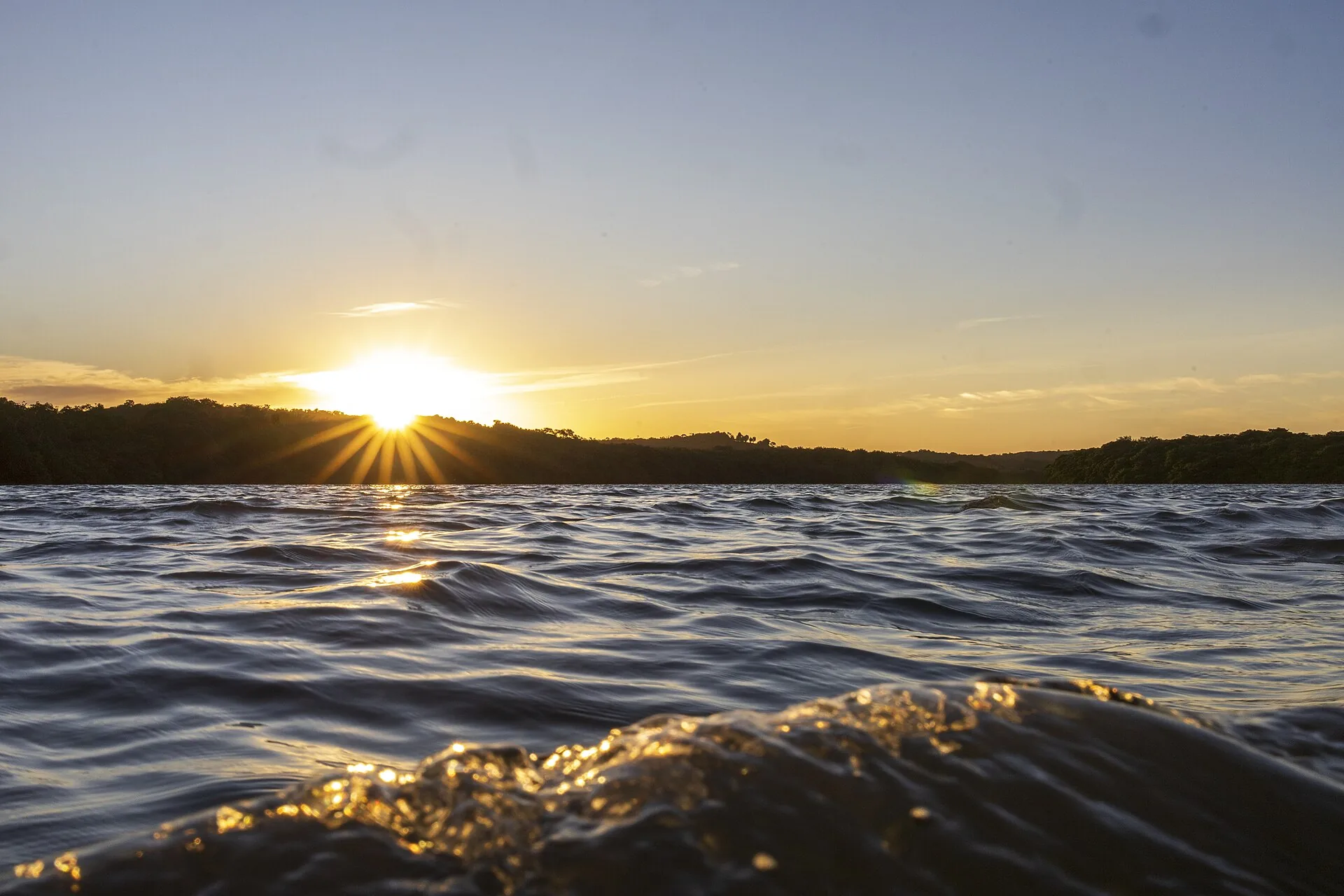
No hurry survives water this shallow. One walks out to sea as if crossing a back garden.
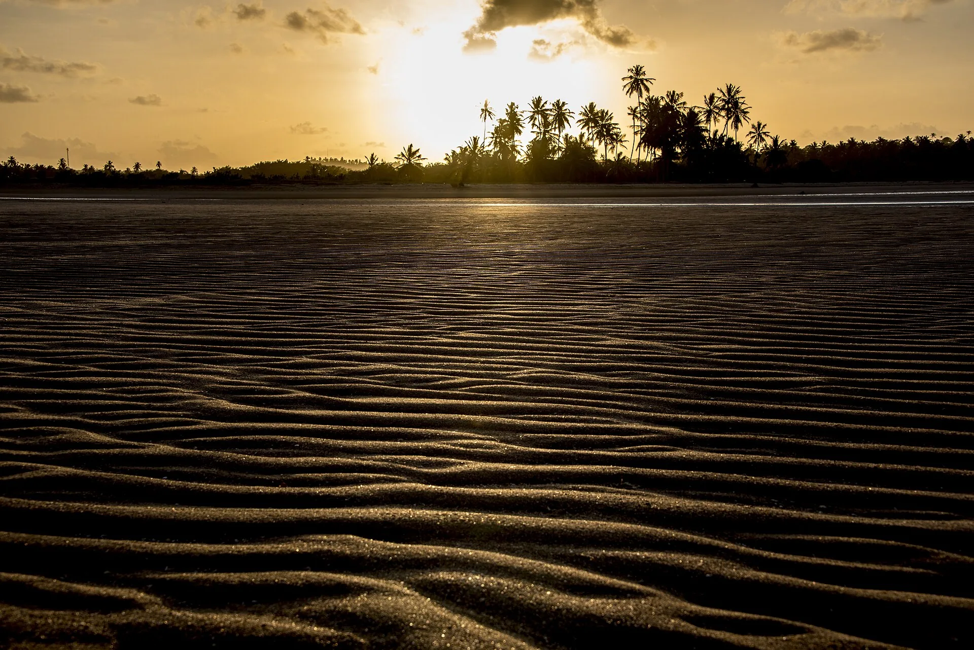
Those who have been know the hour. They do not ask; they come.
03Images
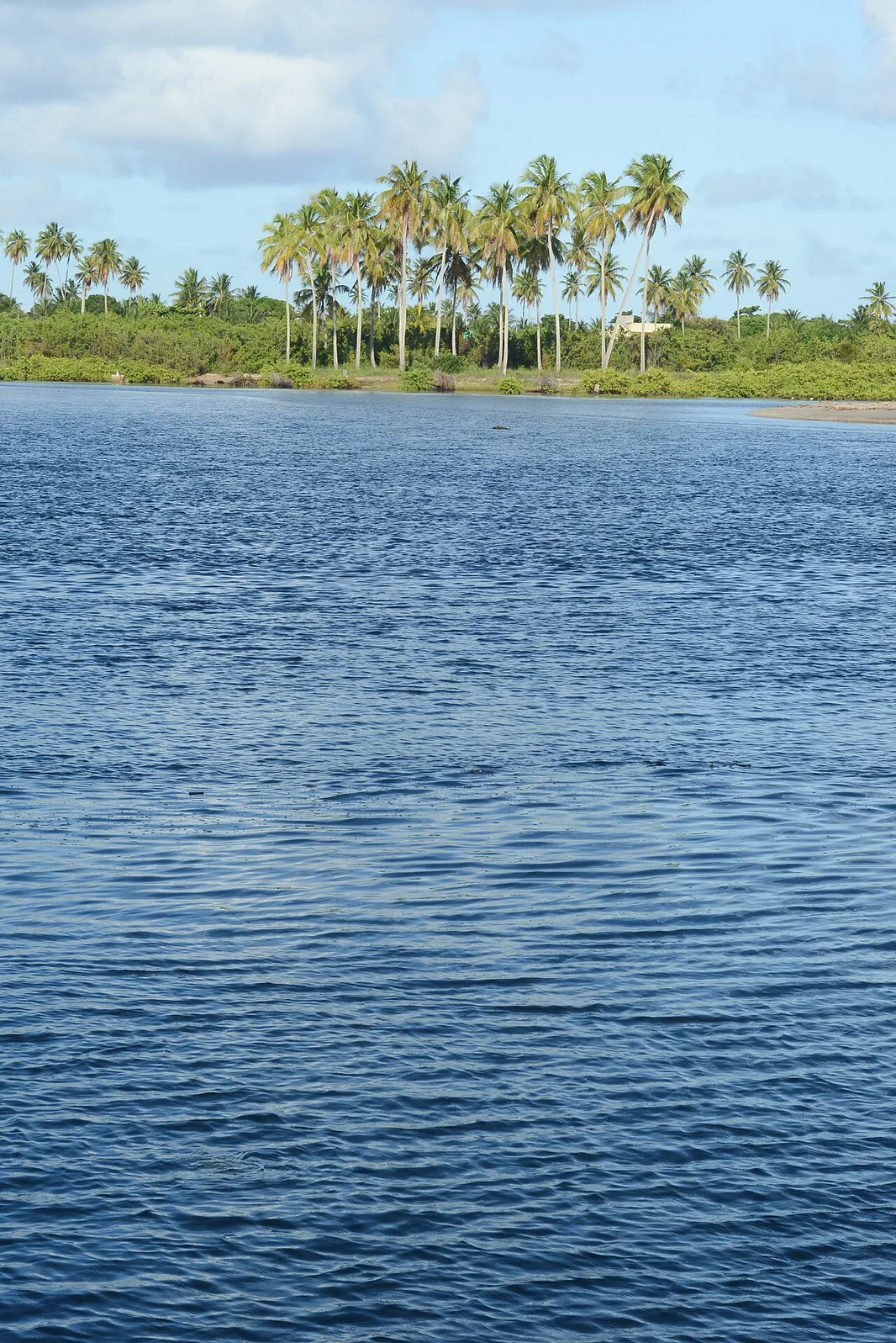
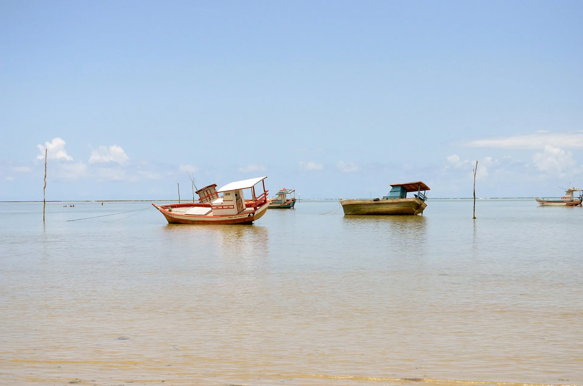
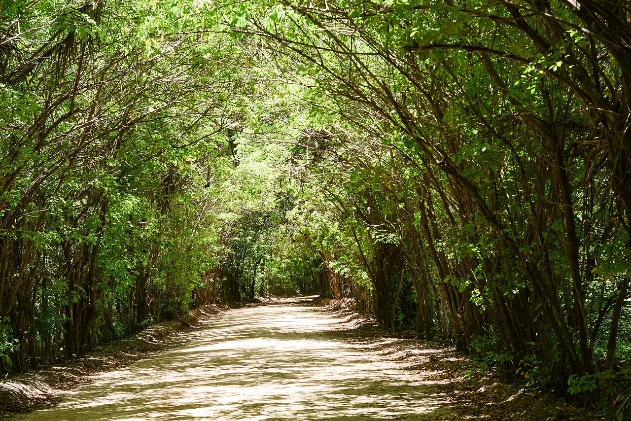
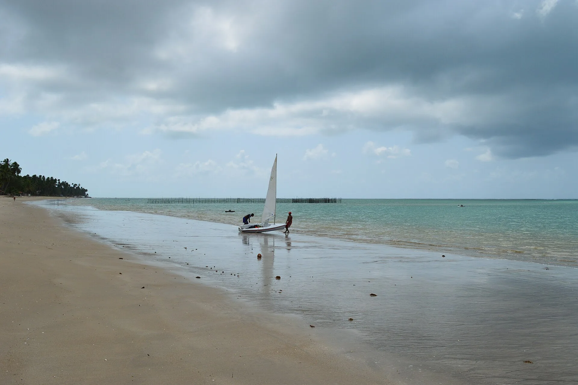
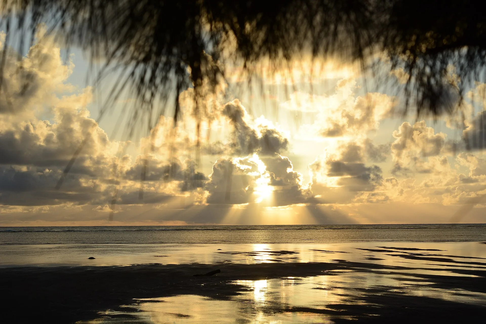
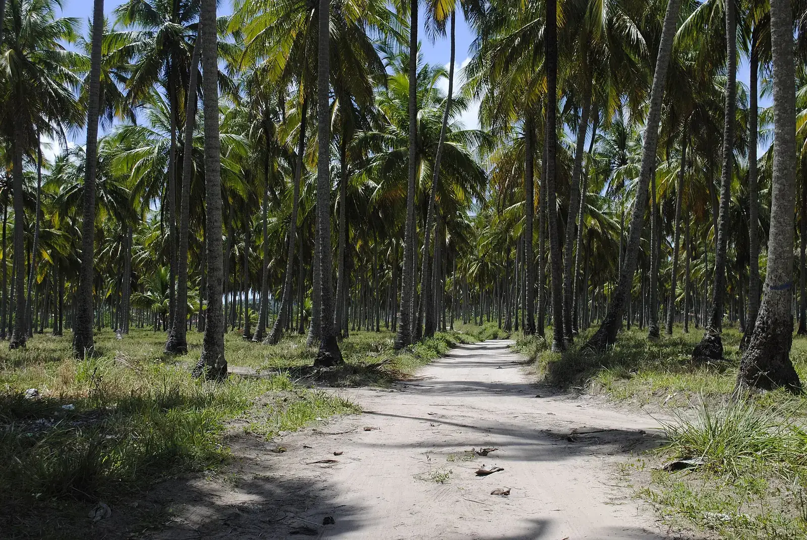
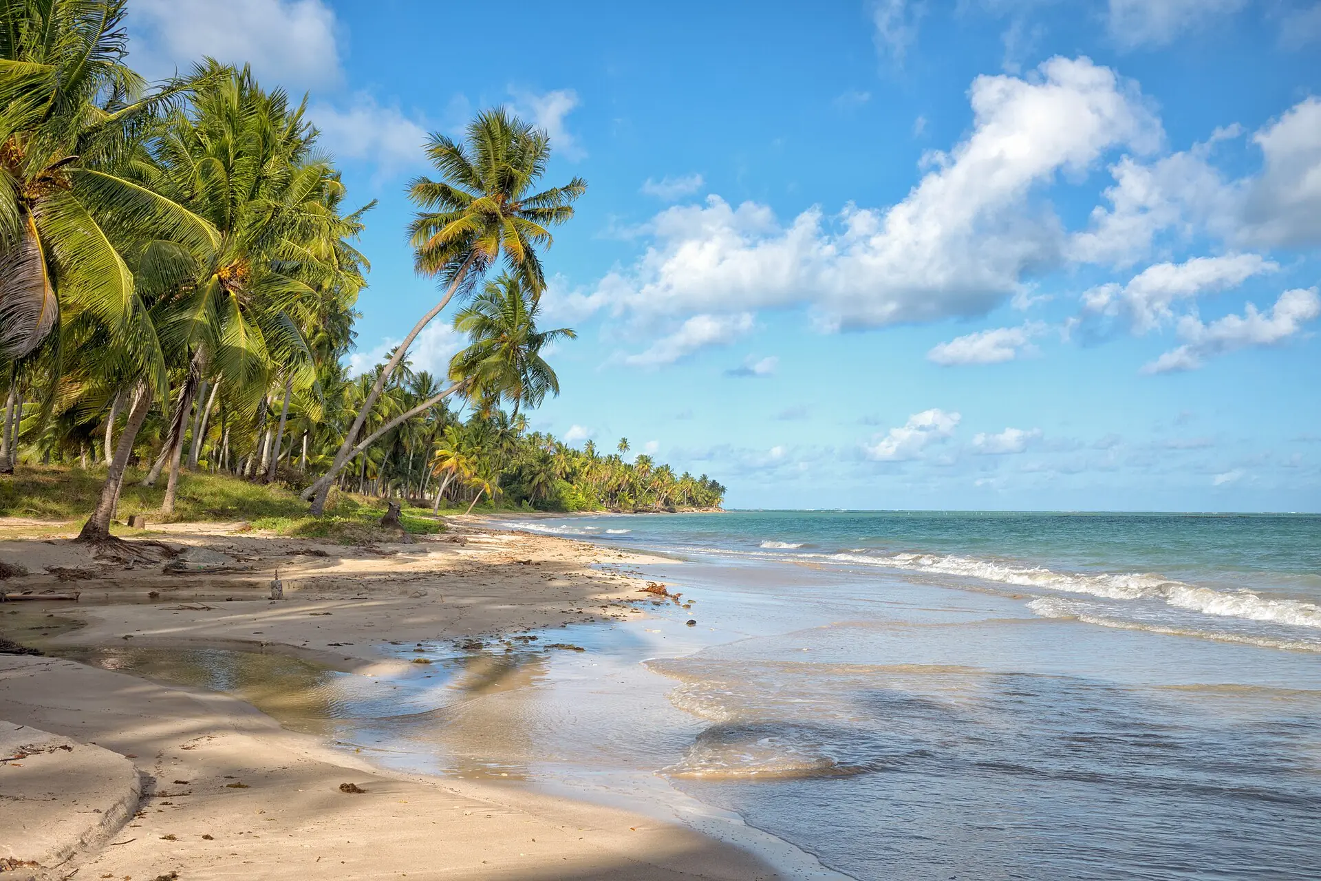
From the coconut grove to the reef.
04What one does here
Verbs, not a programme.
Wade
Out to sea, knee-deep.
Paddle
On the Tatuamunha, with no engine, at the distance the manatee asks.
Float
The reef does the work.
Walk
From one village to the next, along the sand.
Stay
Under a coconut palm, which also came from elsewhere and stayed.
05The region
The river of the manatee.
At Porto de Pedras, the Tatuamunha river is the base from which ICMBio returns rehabilitated manatees to the sea. The species is endangered in Brazil. Visits are made in boats without engines, with a local guide and by appointment.
To the south, Passo de Camaragibe. To the north, Japaratinga and Maragogi, still within the same protected area.
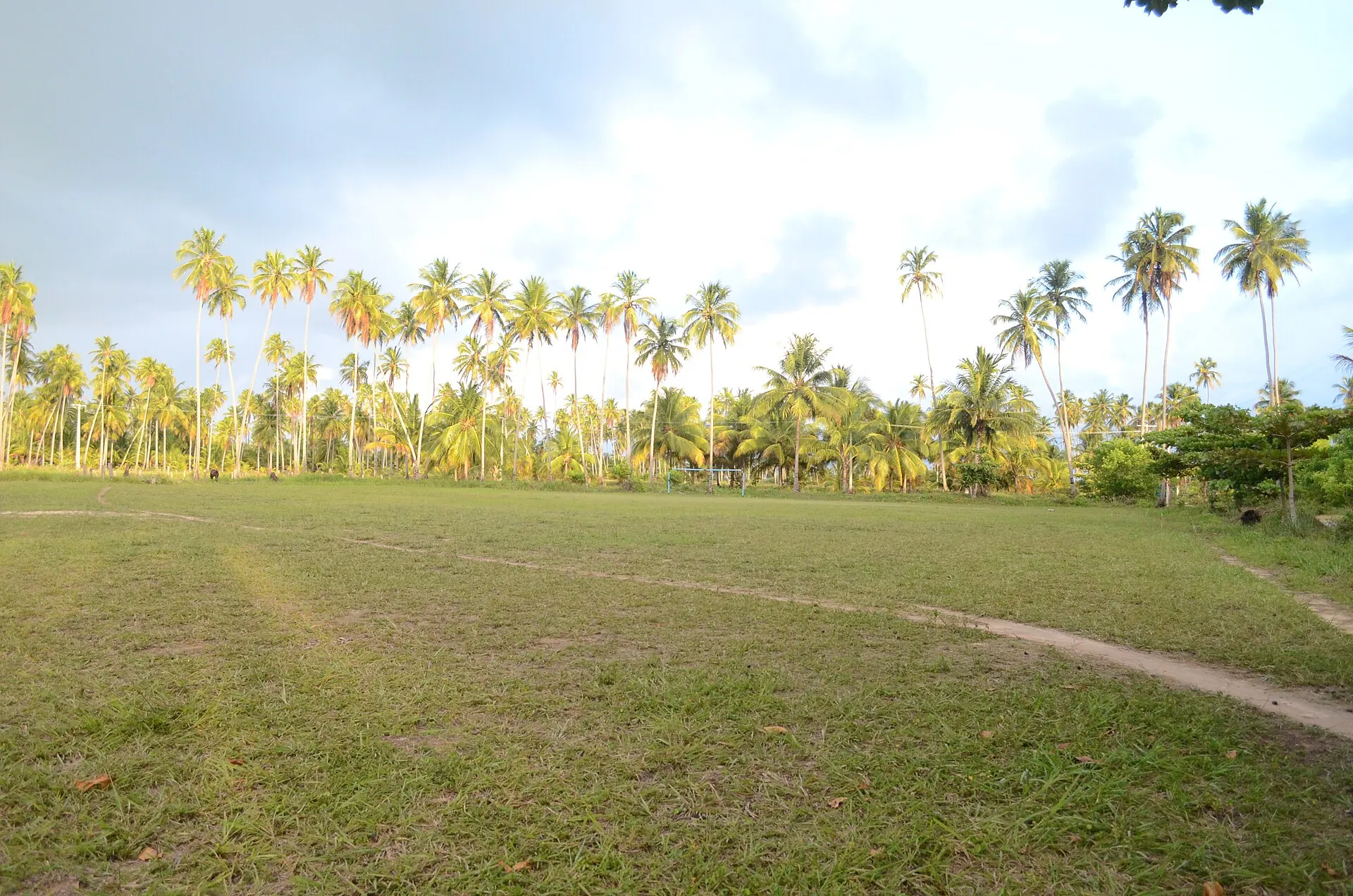
Those who have been know the hour.
São Miguel dos Milagres · Alagoas
06The other places